See Real Time Worldwide Satellite Imagery in action
In depth
A closer look at Real Time Worldwide Satellite Imagery
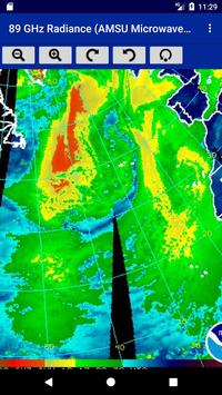
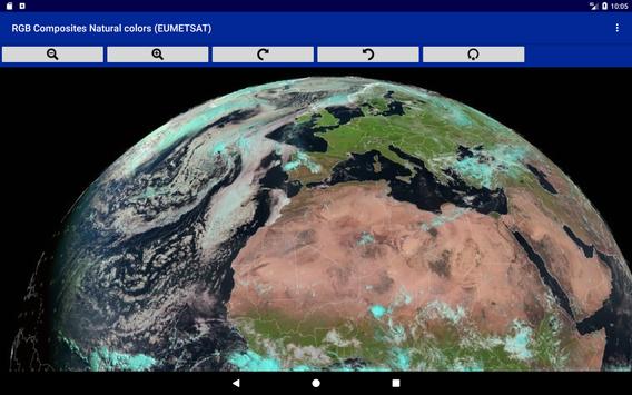
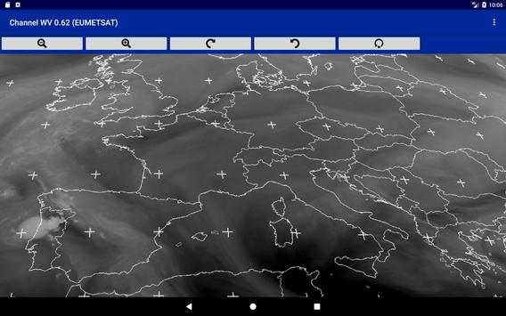
Follow the evolutions of the atmosphere in real time by displaying on your tablet or your smartphone all the images transmitted by the weather satellites of the world. Connect to Meteosat 0 Meteosat 41.5 Goes 75 W, Goes 135 W, Himawari-8, as well as the polar satellites of N.O.A.A. For each satellite you can see the whole planet or only zones in high-definition. For each view you can choice the type of image displayed: visible light, infrared of different wavelengths as well as different standards of digital processing of the images. This application manages a cache to re-display offline images. The application uses an online index to update the list of available documents without having to update the application
Requirements
Device requirements
Android 4.0.3+
Verdict
Should you install Real Time Worldwide Satellite Imagery?
Real Time Worldwide Satellite Imagery is an Android application available under the
Freeware
license — the APK is 4.1 MB.
We’ve catalogued it under
Weather.
✓
Verified clean. Every Real Time Worldwide Satellite Imagery APK on SoftLookup is scanned for malware, spyware, and adware. We re-test on every update.
Sponsored
At a glance
Real Time Worldwide Satellite Imagery specifications